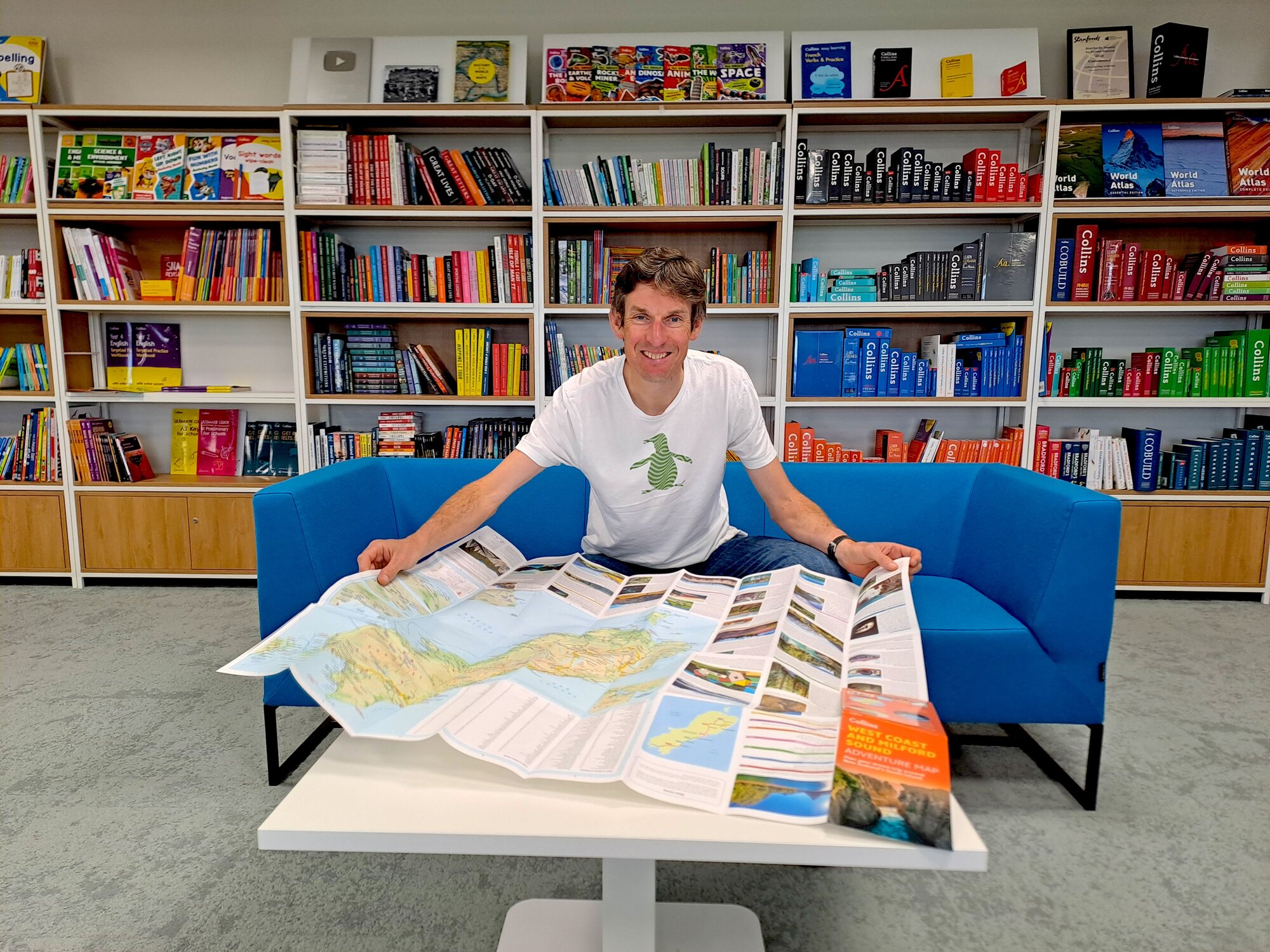
Jethro Lennox is responsible for keeping A to Z maps up to date. He creates atlases of the world too. Passionate about traditional methods of navigation, he also believes in using sat nav as a tool. From working with Sir David Attenborough to embracing new technology to do his job, Jethro tells Charlotte Vowden what it’s like to be a Collins cartographer
“I lived the first five years of my life in Papua New Guinea and by that age I’d been around the world twice. My dad was a doctor who worked abroad and we moved around a lot so I’ve always been aware of this idea of knowing where you are in a space.
I don’t remember my first map, but I’ve always loved them, and I do remember drawing maps of imaginary desert islands. As a cartographer you have to be quite creative, it’s one of the skills. Maps are functional, you need to show what the world looks like, but you need to make them attractive too. Illustrated maps can be quite pretty, there’s a whole variety of different kinds.
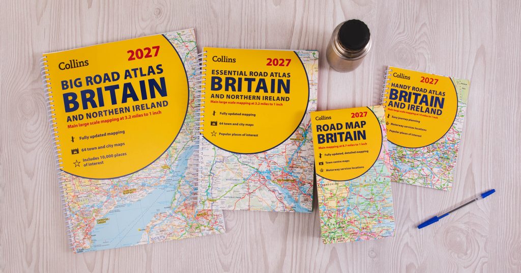
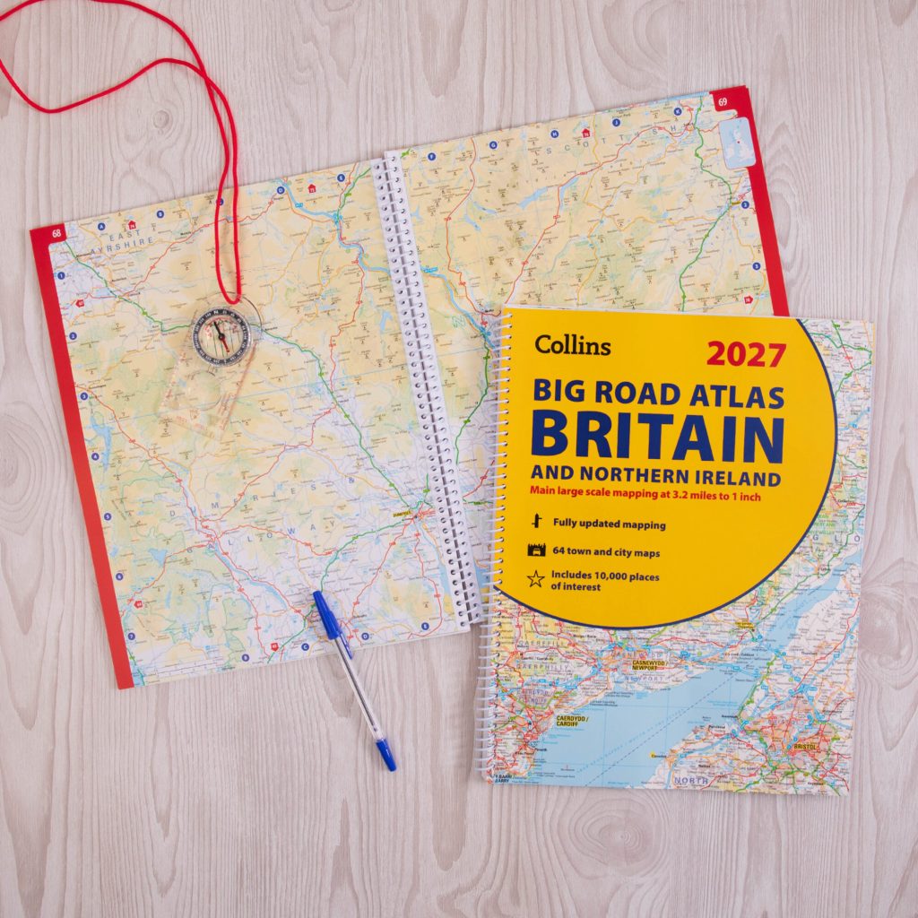
I studied cartography at university and I’ve worked at Collins for nearly 25 years. As Cartographic Director, I head up a team of nine cartographers and we publish things like The Times World Atlas, Collins Atlases and A to Z maps. In 2025, we sold 117,000 A to Z road and street maps and over 200,000 Collins maps and atlases. The printed map is still very much alive.
Our job is to keep them all updated which involves a lot of research to capture changes such as new roads and railways, as well as flags. Recently, we’ve been adding electric car charging points, but as the network grows this information becomes out of date. It’s a challenge, but at least we can provide a starting point for the user.
Deciding the scale of the area that a map is going to cover is really important. Our pocket map of the Isle of Arran for example is quite detailed because Arran’s a smallish place, whereas the pocket map for the whole of Scotland doesn’t have as much information on it.
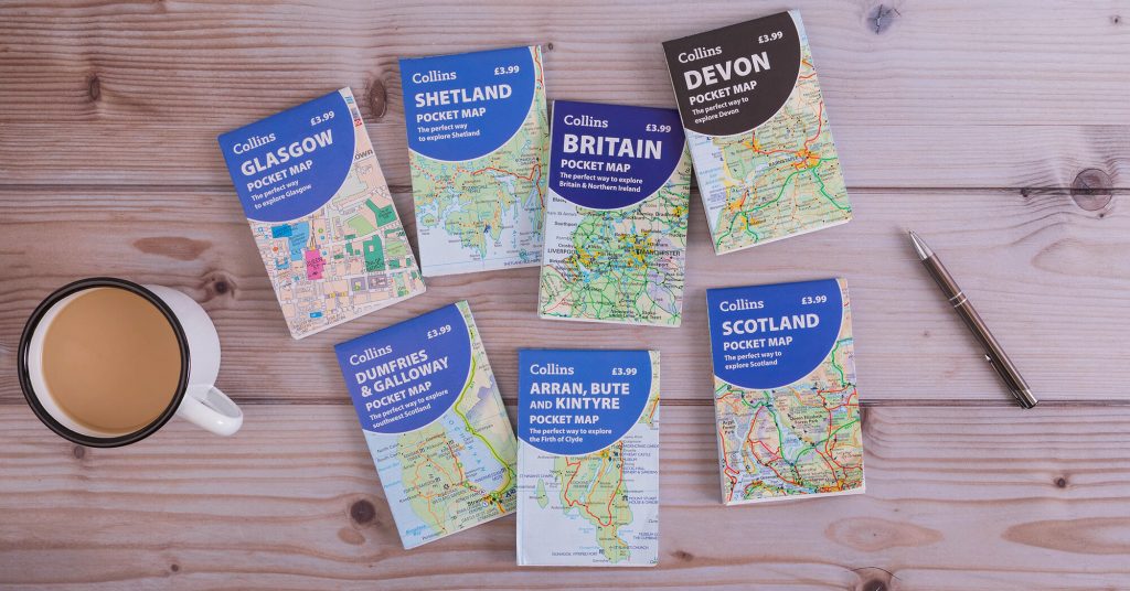
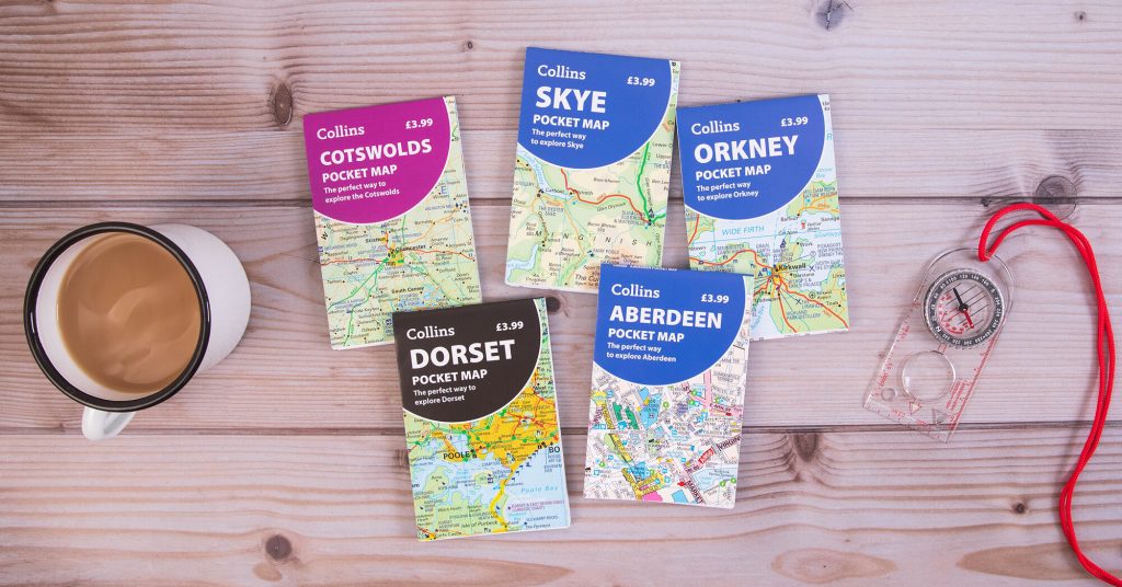
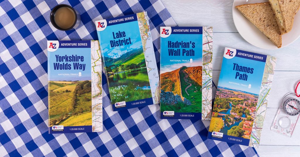
As well as our print publications, we have a UK and worldwide digital database which provides about 50% of our revenue. We supply companies and organisations, including the media, with cartographic data that they can use to produce their own maps.
Fifteen years ago everyone knew what a road map was, it was just what you had in the car, but now people are surprised they still exist; particularly the generation that hasn’t grown up with their parents using them. They were founded in 1936 by Phyllis Pearsall, who walked nearly every street in London to chart it.
Cartographers don’t really get sent out into the field anymore, the mapping is done digitally at our desks. We get most of the information from sources like councils, satellite imagery, urban survey data and local plans, and we commission authors to get extra detail, such as Simon Weir, an expert on motorcycle routes, who put together Bikers’ Britain. It includes photographs as well as recommendations on places to go and things to do.
Last year, the Collins NC500 pocket map was our bestseller, we sold tens of thousands. People use it when they’re planning a trip and it becomes a nice memento when you get home.
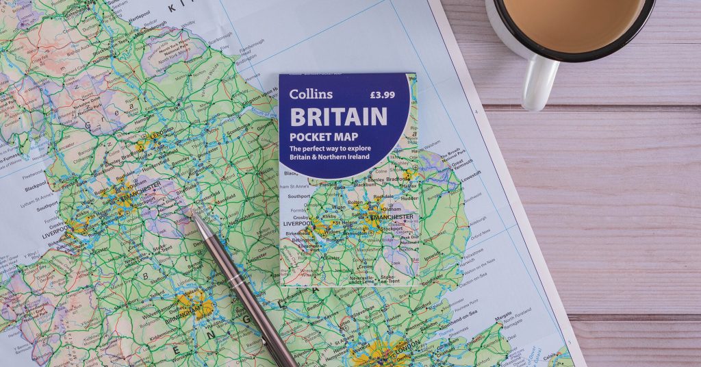
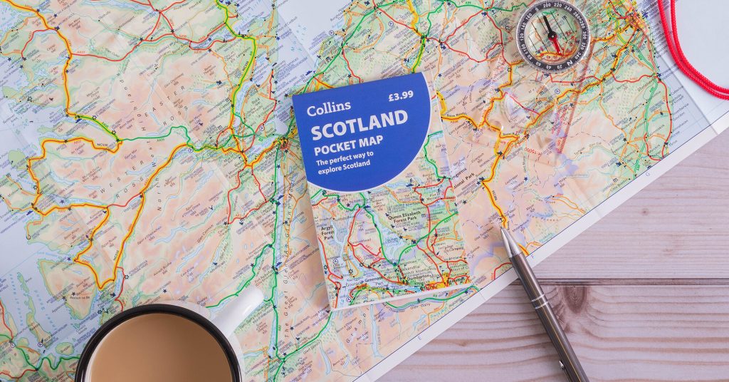
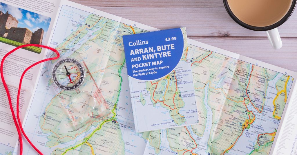
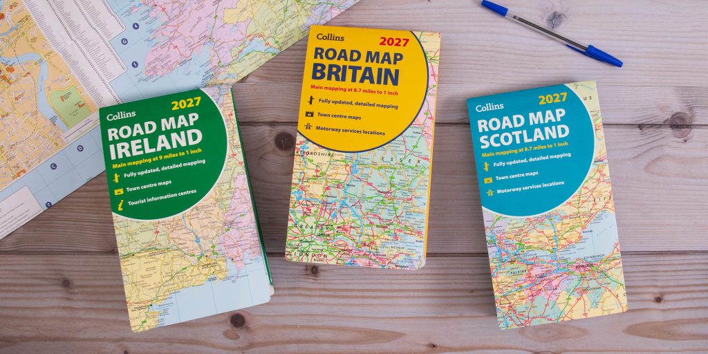
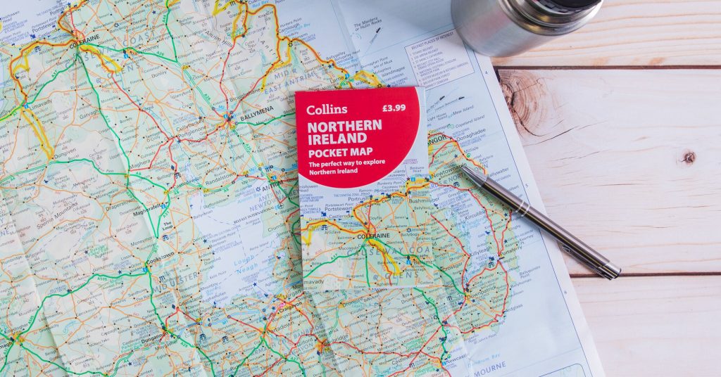
If you’ve got children, I think you should encourage them to use maps and get them involved when you’re map reading. I think it’s important for people to understand where they are, and for the price of a coffee, a wee £3.99 pocket map gives you much more context. It’s harder to see on a sat nav because you’re following a dot on a screen.
A physical map can compliment a sat nav though; I don’t think it needs to be either-or situation. Get kids to try to keep track of where you are on the print map, and see how it aligns with the digital one. Create checkpoints to find along the way and let them experience the satisfaction of navigating themselves. It’s great to get that brain working rather than letting technology do all the work.
The UK is renowned for maintaining a tradition of producing high quality cartography. It’s the home of the Ordnance Survey map, while Collins has been producing school atlases for 150 years, and The Times atlases for over 100. We should be proud of that heritage and I think we could do more in terms of pushing the advantages of using them.
Maps are still a trusted source for explorers. Obviously, they wouldn’t take The Times World Atlas with them when they’re climbing Mount Everest, but it’s still a tool. A slightly nostalgic one.
We published a book with Sir David Attenborough and when he visited our office he opened it on the Papua New Guinea page. I talked to him about how I used to live there, and he talked about exploring the jungle. Sharing our experiences and appreciation of the nature and wildlife was amazing. All because of a shared appreciation of maps.”
Still a map-in-the-glovebox kind of person, or all sat nav these days? We’d love to know in the comments below.








I love maps – no choice as Jethro Lennox’s mum!! I have a large collection of Landranger maps and would have got lost without them. My Girl Guiding days were of great benefit in their use of maps.
appreciate you joan